Integrated Land Management & GIS Software Achieves More Accurate Asset Analysis
Your energy company strives for more accurate land asset analysis using overlapping manual and digital processes. Land departments juggle data in many forms: legacy or homegrown systems, spreadsheets, maps, photos, and lots of paper. Poor data management directly affects your team’s time and drives up operational costs. In fact, it’s commonly reported by land teams that many high-level staff are having to spend at least half their time doing low value work. Leaving them less time to do value-added work.
Time is spent on:
- Determining the most recent data
- Pulling, cleaning, formatting, and exporting data
- Gathering data from each department
- Battling with corrupted files and poor backup procedures
- Dealing with large file sizes that freeze or crash computers
- Searching for lost information
- Re-entering data manually when there is no integration
- Creating work arounds for legacy systems that can’t scale or are no longer supported
And after all that you still may not have the complete picture due to inefficient data management. While any software allows you to accelerate and automate processes, very few work together even when you have solutions for each department. Only an integrated, software solution can provide more accurate land asset analysis.

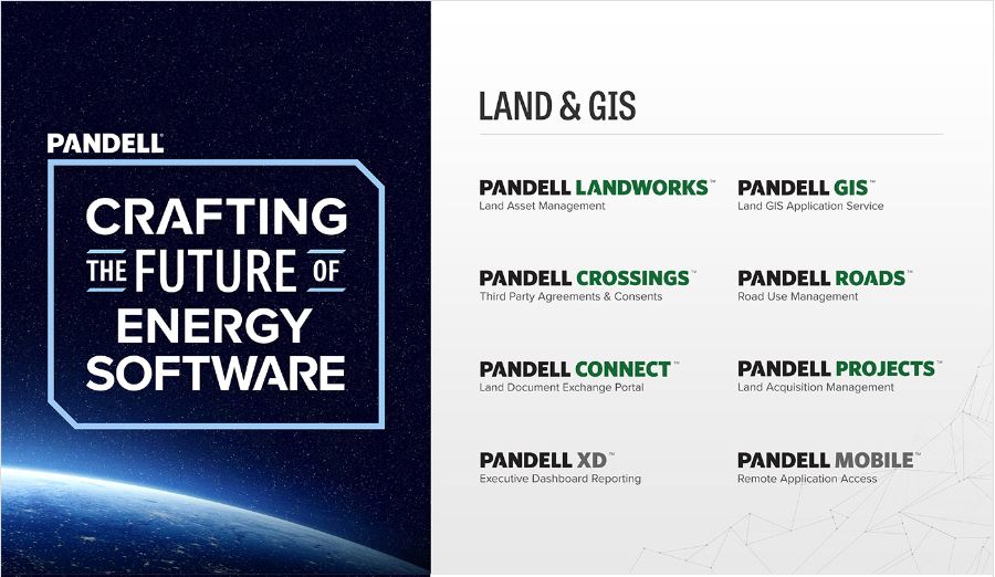
Pandell’s Land & GIS solution is an integrated cloud software platform that centralizes the acquisition and management of land assets for energy developers, operators, land managers, land agents, and land stakeholders. It integrates with your accounting, document management, and facilities management systems. And its easy-to-use platform connects geospatial intel to your land workflow giving you what you need without having to be a GIS super-user.
Use it to:
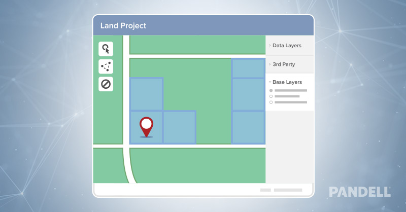
- Visualize new land projects on interactive maps
- Administer land rights, provisions, & obligations
- Perform complex rent & royalty payments
- Digitize ROW in the GIS
- Analyze acreage holdings
- Communicate with stakeholders
This results in a single source of truth that your land department can depend on, and a more efficient workflow between your departments, vendors, consultants, and business partners. Which allows your company to be more proactive rather than reactive.
For more information click here
Share This:
Next Article


