The first release of emerging seismic data is now available for Western Australian miners to gain a better understanding of the state’s complex geology.
The data is being released through the WA Array project, which was launched by the Geological Survey of Western Australia (GSWA) in 2022.
With a $30 million investment over ten years, the project’s data will aim to help exploration companies target areas of high prospectivity, evaluate future competing land uses and mitigate seismic hazards.
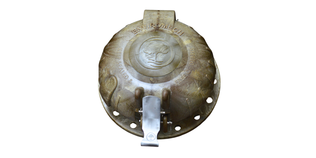
The project deploys 165 seismometers arranged in a grid pattern and spaced at 40km intervals. The entire state is being mapped by relocating the instruments annually between nine regional areas.
“As one of the world’s largest and highest resolution passive seismic surveys, the WA Array will digitally transform and supercharge the state’s resources sector,” WA Mines and Petroleum Minister David Michael said.
“The freely available geoscientific data reinforces the WA Government’s commitment to developing future mines, attracting downstream processing and supporting even more local jobs for Western Australians.
“WA competes with many other jurisdictions to attract investment, so it’s important to keep ahead of the pack with world-leading data projects of this kind.”
Waveform data from the first phase of the project in the south west of WA is now available on the national Australian Passive Seismic Server.
While WA Array builds on similar surveys across the rest of Australia, the project has higher density data collection that leads to more detailed images and models.
The GSWA will present the first detailed previews of the processed results and models from the first phase of the project at an open day in Perth on November 15 2024.
Subscribe to Australian Mining and receive the latest news on product announcements, industry developments, commodities and more.


